Day 8
Today’s the last day on Route 1. We traveled southwest of Selfoss to find Snaefoksstadir
Forest #11. The country is flat and the
tiny forest stood out – right off the main road. It’s a modest 2-3 acre forest with a couple
of picnic tables and surrounded by farm land.
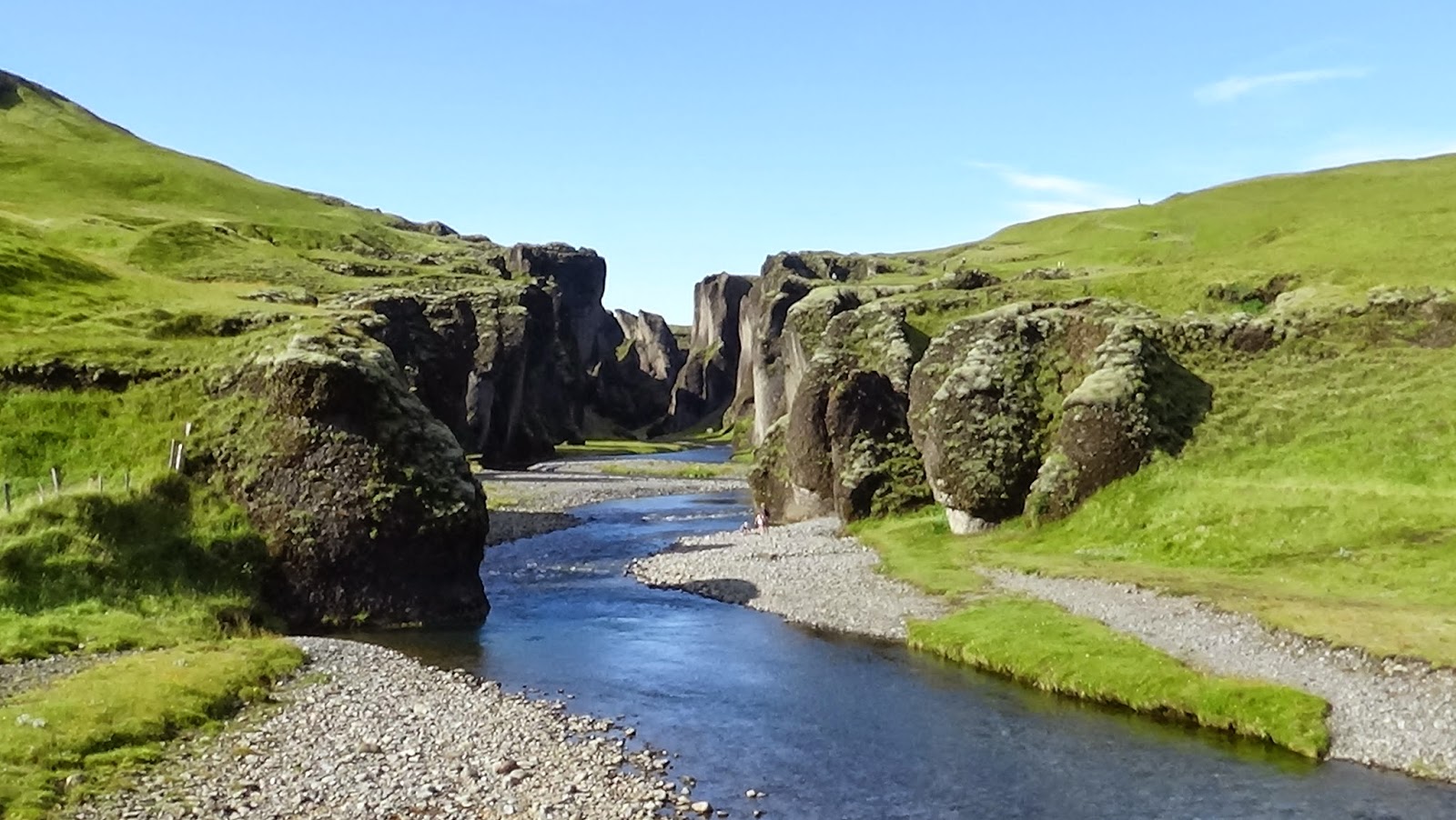
 |
| Snaefoksstadir Forest |
Several miles south of the forest we came to Stokkseyri, a
scenic coastal fishing village. We discovered
art galleries, cafes, restaurants serving up their lobster dish specials (very
tasty), a well tended cemetery and a replica fishing hut used by fishermen for
several hundred years. The hut is approximately
18’ x 30’ and accommodated 8 people - cozy.
 |
At Stokkseyri I found another inverted tree in front of a
house. The tree trunk is buried into the
ground with its roots in the air – roots simulating branches. The inverted tree has its origins in pre-Christian
Iceland. It may have something to do
with Odin (chief Norse god) self sacrificing by hanging himself upside down on
an ash tree to gain “ultimate mystic knowledge”. Christian interpretation: it’s the tree of
knowledge (of good and evil) and also symbolizing man burying his head into
materialism. The inverted tree adds folk
lore and mystery to the landscape.
 |
| Inverted Tree at Stokkseyri |
 |
| (Aug 15): Inverted Tree at Halsaskogur Forest |
We’re only 35 miles from Reykjavik and road traffic has
picked up considerably. On our way to Gullfoss waterfall we made a stop at
Kerid crater, a perfect cone shape volcano with a small blue water lake in the
center - very scenic. And we stopped
off at the “Great Geysir”. Due to the overwhelming number of tourist we
decided to head to Gullfoss waterfall.
 |
| Kerid Volcano Crater |
Gullfoss waterfall is a spectacular favorite among tourist. It’s not the most powerful (Dettifoss has that
honor) but it certainly is the most dramatic and beautiful. The river has cut
two cascades into the volcanic rock at ninety degree angles. After the second cascade the water seems to
disappear into a deep gorge.
 |
| Gullfoss |
Unfortunately, it was so late in the day and we had to get
the Hertz car back we skipped Pingvellier National Park, a site of great
historical, cultural and geological significance to Iceland.